Surveying & Geospatial
Balpara’s expert surveying team is highly sought after
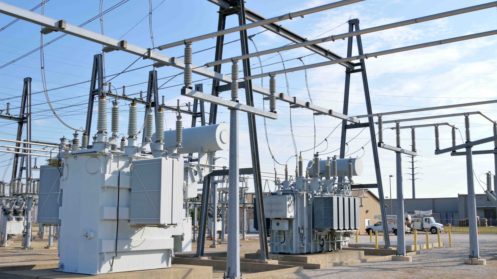
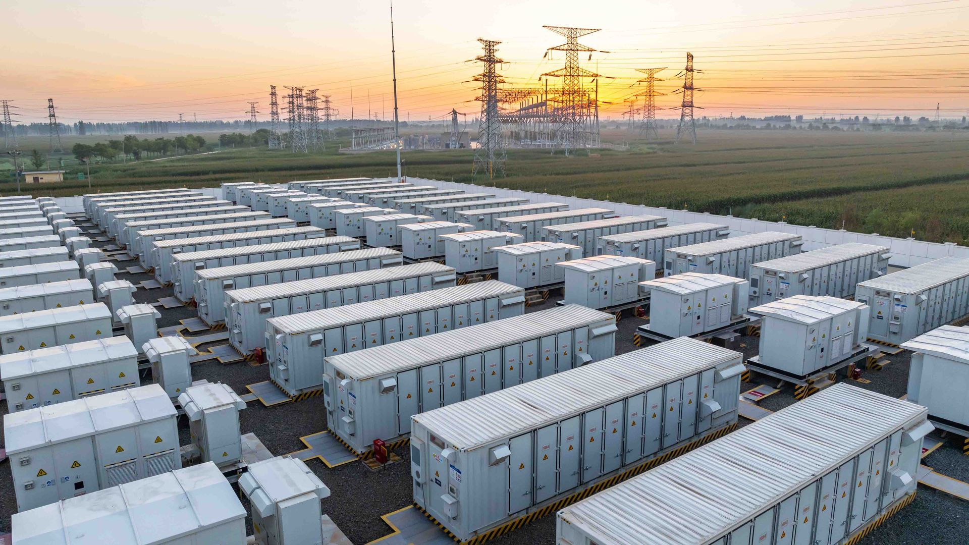
Using quality GPS and Robotic Total Station equipment, Balpara’s surveying and geospatial services include feature survey, infrastructure set out, underground asset location and proving surveys, powerline survey set-out and design, sag and sway assessment, utility asset as-built surveys and more.
Supporting projects of varying scale and scope, Balpara has proven experience meeting the surveying needs of our clients within a project lifecycle, from feature survey for design and Total Station Survey, to final construction drawings.
Balpara’s data capture service facilitates measurement and visualisation of 3D elements for our clients. In comparison to conventional survey methods, 3D data capture and modelling provides a level of accuracy previously not achievable, significantly minimising errors.
Request a quote
Subscribe to our newsletter
Surveying Services
- Utility as-built asset surveys
- Utility easement surveys
- Feature survey and level survey
- Sag and sway assessments
- Survey using advanced GPS equipment
- Survey using Robotic Total Station (Total Station Survey)
- Survey using 3D laser scanning
- Monitoring survey
- Benchmark and control point establishment
- Engineering survey and infrastructure survey
- Calculation details
- Design drawings
- Final construction drawings
- HD photography
Delivering expert surveying and geospatial services across Australia
Balpara’s secondment services
Need project support to meet urgent deadlines?
Whether based in your office or ours, Balpara can provide you with project management, design engineering, surveying, auditing and drafting experts.
To discuss any resource needs you may have, call 1300 225 727
and ask us about secondments.
Our Projects